
A wall of ice, rock, and river smashed the Nepal–Tibet borderlands and left families counting the missing by the hundreds.
Story Snapshot
- Officials reported at least 160–270 dead and more than 1,300 missing as counts rose hour by hour.
- Police and tourism authorities said hundreds of tourists were unaccounted for, many of them foreign nationals.
- Scientists said a glacier and rock collapse likely triggered the torrent, not a typical storm flood.
- Villages, bridges, roads, and power works along the Lhende River were smashed or washed away.
Where the river turned violent
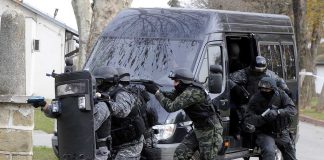
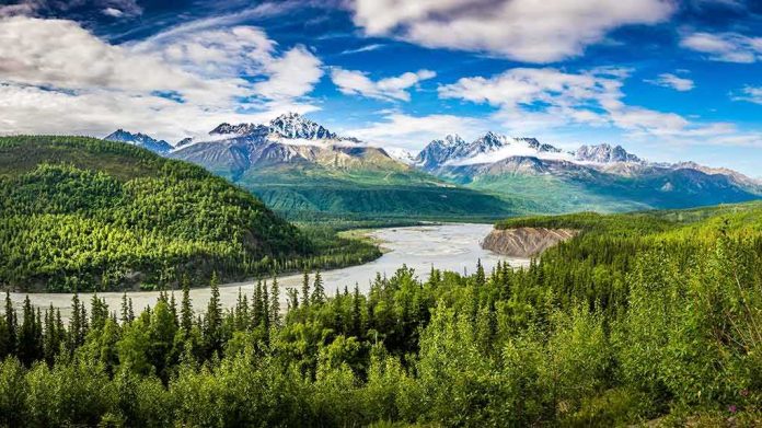
Rescuers and police raced along the Lhende River on Nepal’s side of the Himalayas after a sudden collapse sent a black surge down the valley on August 26. The runout chewed through villages and work sites, and it struck within reach of a busy border crossing into China’s Tibet region. Nepal Police reported body recoveries in the hundreds, while the missing list stretched across districts and nationalities as daylight exposed the damage.
Roads buckled or vanished where the flood undercut slopes. Bridges twisted or snapped. Power projects and small shops alike took the hit. Survivors told reporters the force was like nothing they had seen before. One teacher said trucks and people went with the water in seconds. Rescue crews moved by foot, air, and rope where they could, but terrain and fresh slides slowed every step of the search.
How the collapse began
Scientists and Nepal’s disaster authority pointed to a glacier and rock failure high above the valley. The lower part of a glacier tore loose and dropped to the floor below. That energy chewed up ice and debris, then hit the river like a hammer. The United States Geological Survey said the shaking many first took for an earthquake was actually the collapse itself, which explains the sudden start and the extreme wave that followed.
Early talk of a quake trigger came fast in the chaos. Nepal’s foreign minister told lawmakers that an earthquake might have set off a landslide that dammed the river. That idea fit the first data and the panic of the moment. Later analysis shifted the cause toward an ice-rock avalanche, which matches the damage pattern and the seismic signal. This kind of update is common in the high Himalayas, where instruments are few and valleys hide the start of events.
Counting the lost, facing the clock
Nepal Police and the Nepal Tourist Board gave running totals as teams pulled bodies from debris and river bends. The death count moved from scores into the hundreds. The missing list passed 1,300, with hundreds of tourists among them, most of them from abroad, according to tourism officials. Lists reflected both Nepali districts and cross-border cases, which made reconciliation slow but urgent as families sought names and news.
🚨🇳🇵 BREAKING — NEPAL: A catastrophic landslide and flash-flood disaster has left hundreds dead and more than 1,300 people missing, including dozens of Americans.
🌊 The disaster was initially linked to a 4.4-magnitude seismic event, but updated assessments indicate the flooding…
— Nova Intel (@intel_nova) August 27, 2026
Searchers worked along narrowing windows. Mountain rivers drop fast when debris blocks or diverts flow. They surge again when fresh breaks occur. That seesaw can bury clues, then uncover them miles downstream. Helicopters eyed new cracks and lakes that could break. On the ground, police and army units focused on likely catch points: bridge pilings, river bends, and eddies near road cuts. Every hour mattered for anyone trapped in air pockets of mud and wood.
Why this keeps happening in the high Himalayas
The Himalayas stack steep slopes, thawing ice, and heavy monsoon rains in tight valleys with people, roads, and power lines. That mix sets the stage for rare but huge events. When ice and rock fail, they can release energy equal to a small blast. If that hits a river, the wave moves fast and far. Past reviews show Nepal has faced dozens of glacier and lake outburst floods. The Nepal–Tibet border has seen cross-border surges before, and it will again.
Practical steps can cut risk. Map the most dangerous slopes and valleys. Install river gauges and simple alarms near tourist hubs. Harden bridges at key crossings and design energy-dissipating structures where waves will hit. Require early-season checks of known weak glaciers and lakes. Share data in real time across the border. These measures cost money, but they protect lives and the livelihoods tied to roads, power, and tourism. Common sense says prepare before the mountain moves.
What to watch next
Authorities will refine the casualty rolls as they match police ledgers with hospital and morgue records. Scientists will release more images and models that track the collapse path and the runout. Those findings will guide where to rebuild and where to avoid. Aid groups will shift from search to recovery, then to repair. The core facts are set: a glacier-rock collapse struck a known river corridor and turned a normal morning into a mass-casualty disaster.
Sources:
facebook.com, reuters.com, bbc.com, abcnews.com